The Enigma of Cap au Leste
The Enigma of Cap Au Leste continues…
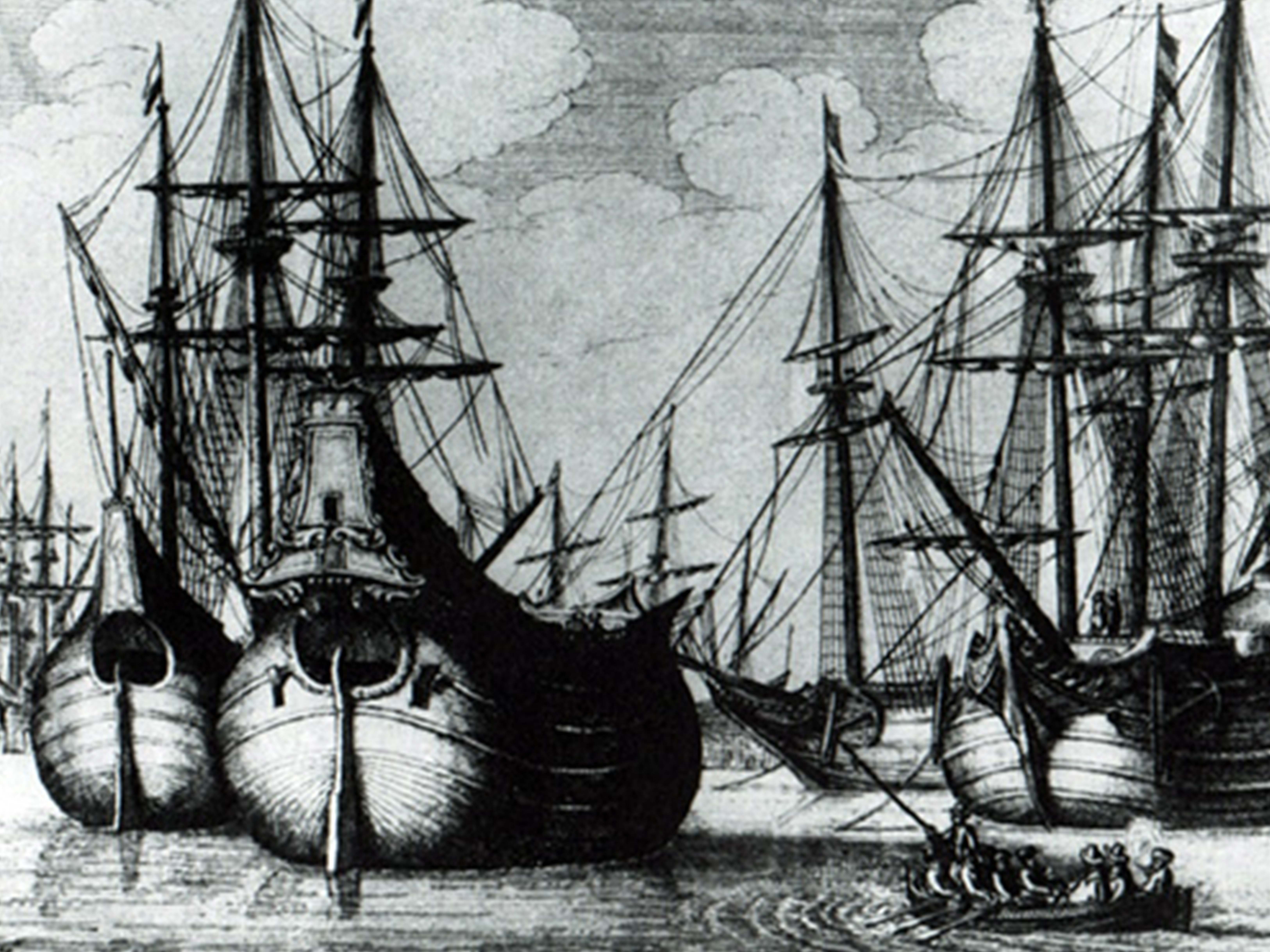
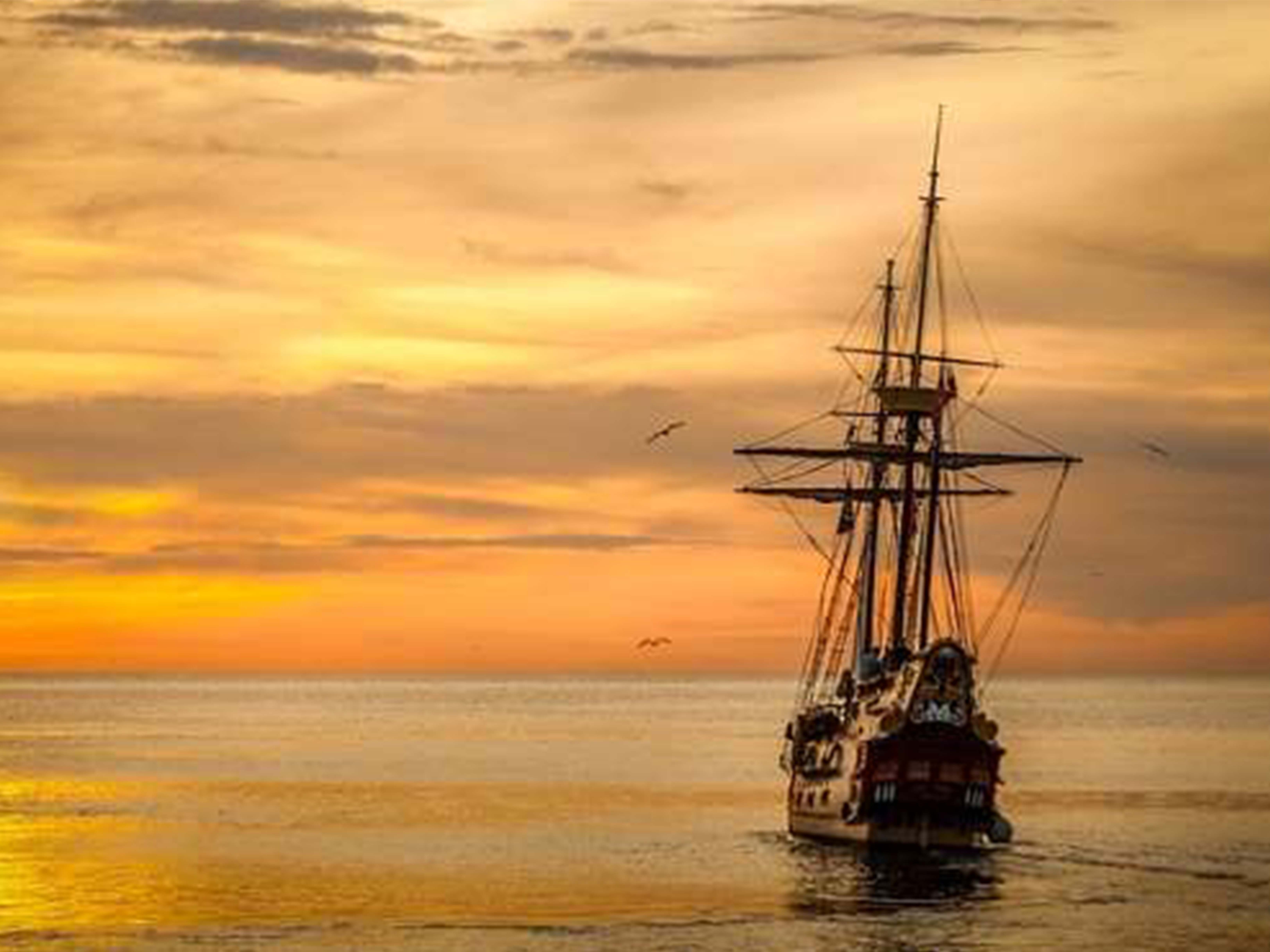
Different interpretations and attempted solutions to the puzzle have been explored by amateur and professional historians. One hypothesis is that of a navigation stop for loading vessels in ballast. Like many contemporary ships, ships of XVIIIth century were to be weighted for stability during navigation. The ballast is used to correct the trim of a boat, to balance a poorly distributed load. Typically, a ship relieved of its heavy cargo taken from Europe to the Americas was to be weighted before resuming its navigation. Another version advanced by historian Mgr Victoire Tremblay and columnist Yves Ouellet, could suggest that the ship came to take the wood “délestaient” before taking their cargo in the sawmills installed in the course of the Saguenay. However, if we accept this explanation, how to understand the Cap Au Leste name already used by the explorer before 1740 while transporting timber only beginning around 1838. The enigma remains unmoved …